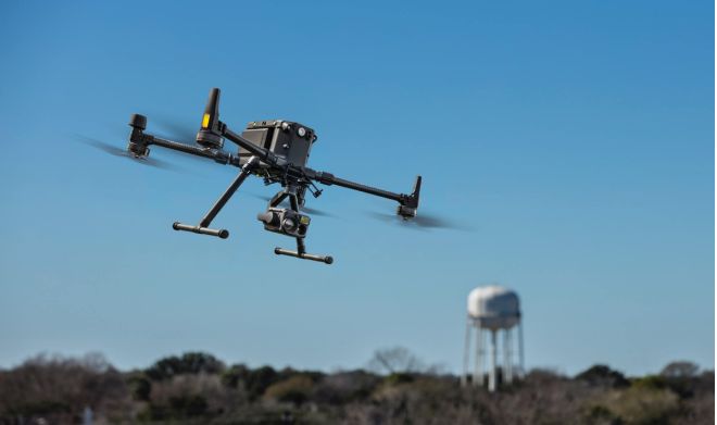
Get a complete perspective on your workflow through aerial survey and imaging. CEW uses the DJI Matrice M300 RTK UAV to obtain accurate information and clear imagery through the P1 camera payload. The high resolution 45Megapixel camera yields excellent results when you really need to see what’s going on. From heavy civil construction to agricultural to video, we got you covered.
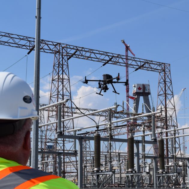
CEW is fully compliant with Transport Canada regulations and is Advanced Pilot certified.
Learn more about the drone we use at CEW to make our work even better.
Learn About Our Drone Tech